With the development of transport and the rapid growth of urban areas urban development was very promising area of activity for architects and 3D-graphics. Aspects such as complex interchanges, the growing number of residents and environmental pollution in large cities require constant adjustments and changes to existing infrastructures, as well as search for new ideas and principles in the planning of cities.

The concept of "Urbanism" can be defined as the purposeful activity of different structures (civil associations, institutions, governmental authorities and local government), which aims to develop a complete environment.
For the development environment include tracking steps:
- Planning and the creation of & # 1089; Jelenia points;
- Development of the territory;
- Reconstruction of the old settlements;
- Plasirovka and construction of new projects;
- Design and construction of transport infrastructure.

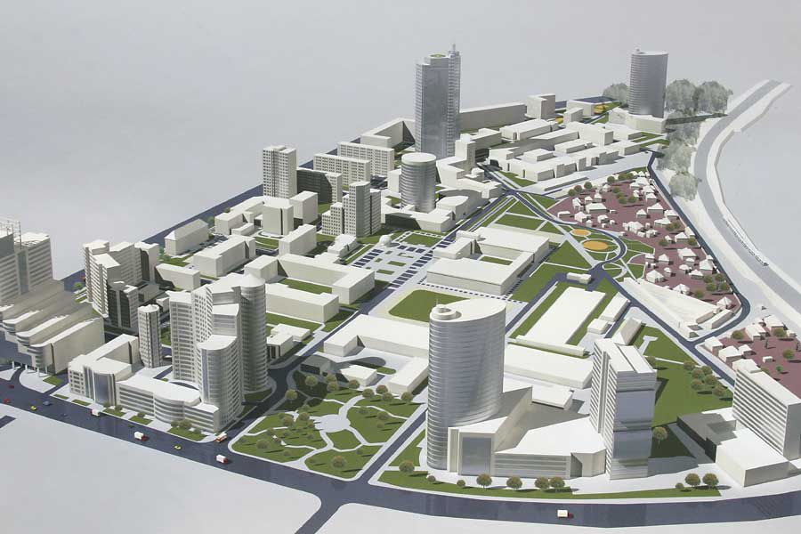
But as the industry of architectural urban planning activities aimed at creating urban assemblies that connect the buildings with the natural environment. Thus, in addition to proper planning and convenient transport interchanges in urban development is also taken into account the task of natural features (the landscape, vegetation) of the village.
Urban Development Planning includes:
- The city's infrastructure (communication between areas, their location);
- Recognition. By facilities should be easily recognizable to be able to identify them quickly;
- Creating a comfortable and safe transport interchanges;
- Support for the balance of diversity in the urban environment;
- Practicality. Completed forms should be arranged so that residents could use them as often as possible;
- Specific traits. Create characteristic differences between different parts of the city.

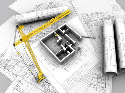
Thus, in urban planning we need a comprehensive campaign with all the features of location, so the sketches and descriptions of projects are accompanied by detailed 3D-models and web graphics. To get the full picture of the future of the project is very important to create a detailed image of themselves, even small elements and take into account all the features of the project.
To achieve these goals, a large number of different software
For the development environment include tracking steps:
- Planning and establishment of settlements;
- Development of the territory;
- Reconstruction of the old settlements;
- Plasirovka and construction of new projects;
- Design and construction of transport infrastructure.

But as the industry of architectural urban planning activities aimed at creating urban assemblies that connect the buildings with the natural environment. Thus, in addition to proper planning and convenient transport interchanges in urban development is also taken into account the task of natural features (the landscape, vegetation) of the village.
Urban Development Planning includes:
- The city's infrastructure (communication between areas, their location);
- Recognition. By facilities should be easily recognizable to be able to identify them quickly;
- Creating a comfortable and safe transport interchanges;
- Support for the balance of diversity in the urban environment;
- Practicality. Completed forms should be arranged so that residents could use them as often as possible;
- Specific traits. Create characteristic differences between different parts of the city.

Thus, in urban planning we need a comprehensive campaign with all the features of location, so the sketches and descriptions of projects are accompanied by detailed 3D-models and web graphics. To get the full picture of the future of the project is very important to create a detailed image of themselves, even small elements and take into account all the features of the project.
To achieve these goals, a large number of different software with which the architect or 3D-graphics can realize themselves in urban planning.

The concept of "Urbanism" can be defined as the purposeful activity of different structures (civil associations, institutions, governmental authorities and local government), which aims to develop a complete environment.
For the development environment include tracking steps:
- Planning and the creation of & # 1089; Jelenia points;
- Development of the territory;
- Reconstruction of the old settlements;
- Plasirovka and construction of new projects;
- Design and construction of transport infrastructure.

But as the industry of architectural urban planning activities aimed at creating urban assemblies that connect the buildings with the natural environment. Thus, in addition to proper planning and convenient transport interchanges in urban development is also taken into account the task of natural features (the landscape, vegetation) of the village.
Urban Development Planning includes:
- The city's infrastructure (communication between areas, their location);
- Recognition. By facilities should be easily recognizable to be able to identify them quickly;
- Creating a comfortable and safe transport interchanges;
- Support for the balance of diversity in the urban environment;
- Practicality. Completed forms should be arranged so that residents could use them as often as possible;
- Specific traits. Create characteristic differences between different parts of the city.

Thus, in urban planning we need a comprehensive campaign with all the features of location, so the sketches and descriptions of projects are accompanied by detailed 3D-models and web graphics. To get the full picture of the future of the project is very important to create a detailed image of themselves, even small elements and take into account all the features of the project.
To achieve these goals, a large number of different software
For the development environment include tracking steps:
- Planning and establishment of settlements;
- Development of the territory;
- Reconstruction of the old settlements;
- Plasirovka and construction of new projects;
- Design and construction of transport infrastructure.

But as the industry of architectural urban planning activities aimed at creating urban assemblies that connect the buildings with the natural environment. Thus, in addition to proper planning and convenient transport interchanges in urban development is also taken into account the task of natural features (the landscape, vegetation) of the village.
Urban Development Planning includes:
- The city's infrastructure (communication between areas, their location);
- Recognition. By facilities should be easily recognizable to be able to identify them quickly;
- Creating a comfortable and safe transport interchanges;
- Support for the balance of diversity in the urban environment;
- Practicality. Completed forms should be arranged so that residents could use them as often as possible;
- Specific traits. Create characteristic differences between different parts of the city.

Thus, in urban planning we need a comprehensive campaign with all the features of location, so the sketches and descriptions of projects are accompanied by detailed 3D-models and web graphics. To get the full picture of the future of the project is very important to create a detailed image of themselves, even small elements and take into account all the features of the project.
To achieve these goals, a large number of different software with which the architect or 3D-graphics can realize themselves in urban planning.


 Анимация В 3ds Max. Окружающая Среда
 Red - The Highlight Of The Interior
 As Monsters Are Born Out Of The Darkness?
 Adjusting Lighting For Realistic 3d Images
 Newcomers